Geosys Teknologi Indonesia
CHCNAV products and solutions cover multiple industries such as geospatial, construction, agriculture and marine.
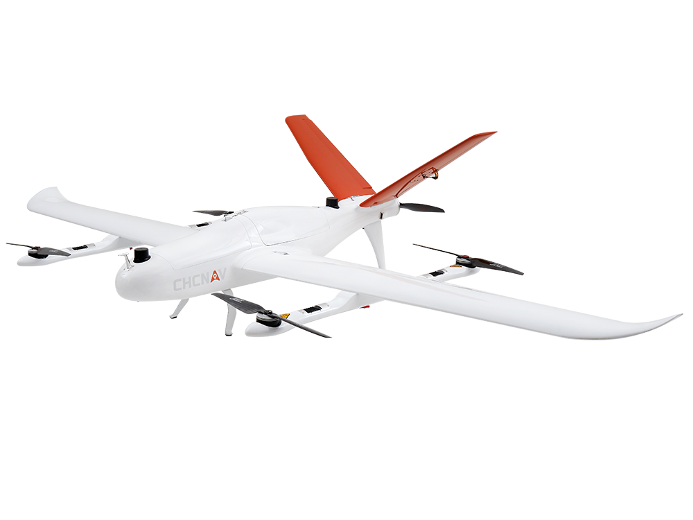
VTOL drone for Surveying and Mapping
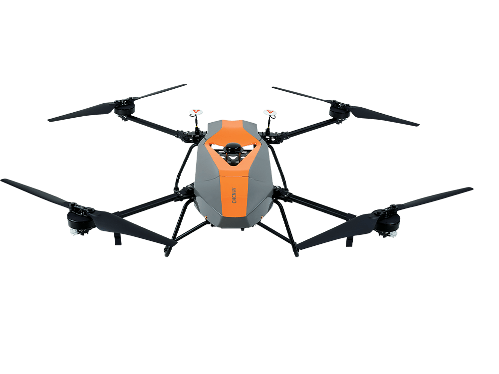
Unmanned Air Vehicle (UAV) for airborne surveys
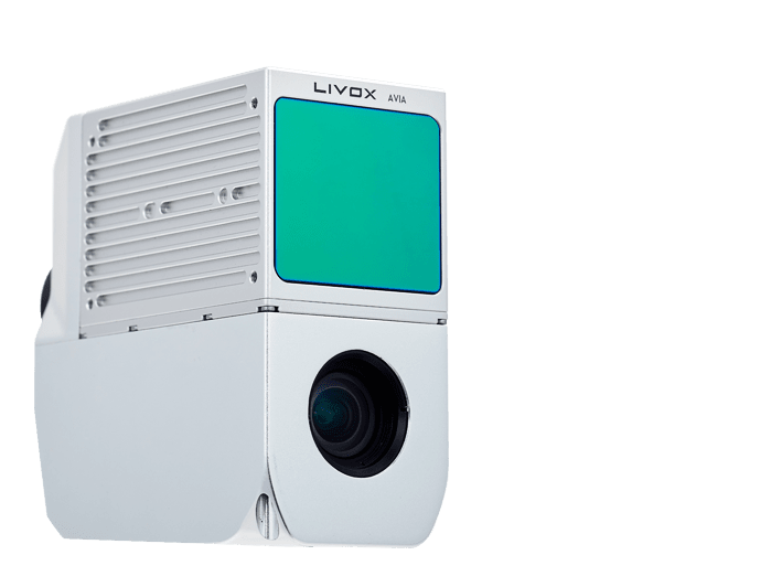
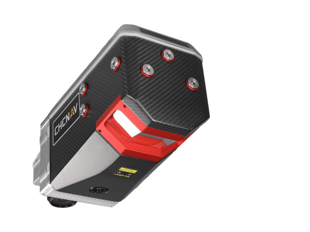
Airborne LiDAR system with 3D Scanner, camera, IMU & GNSS
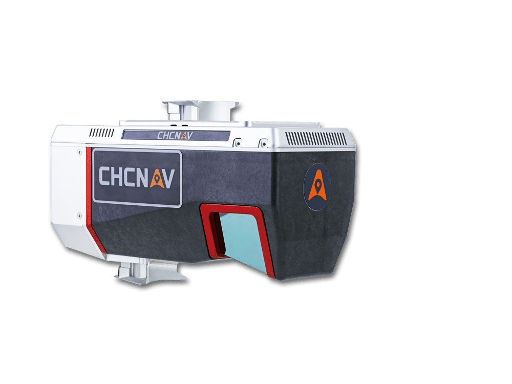
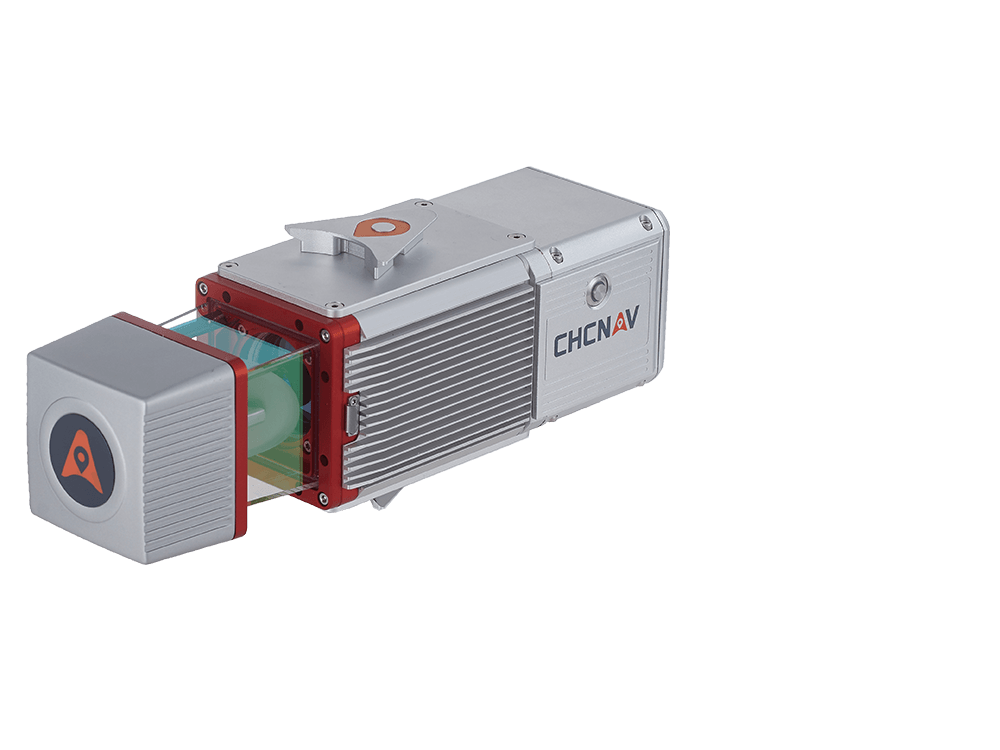
Airborne reality capture LiDAR system with 1430 m range
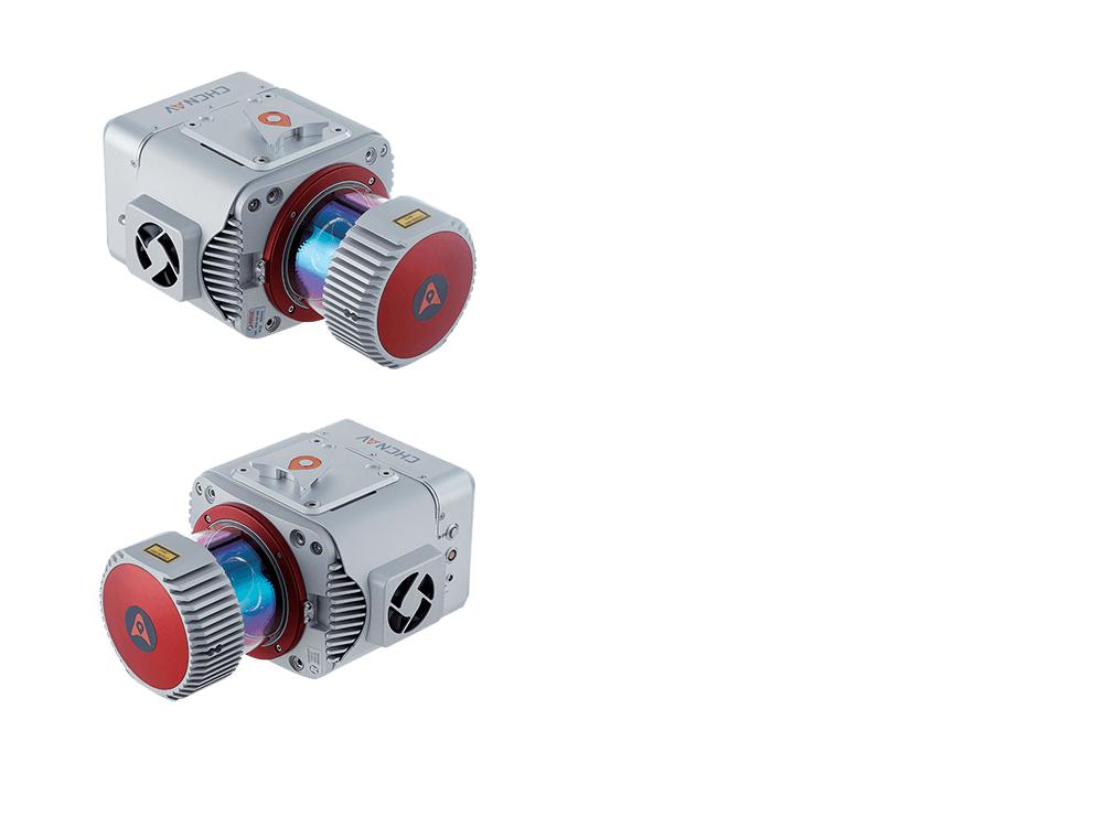
Airborne reality capture LiDAR system with 2150 m range
laser scanner, HDR camera, GNSS, inertial tech
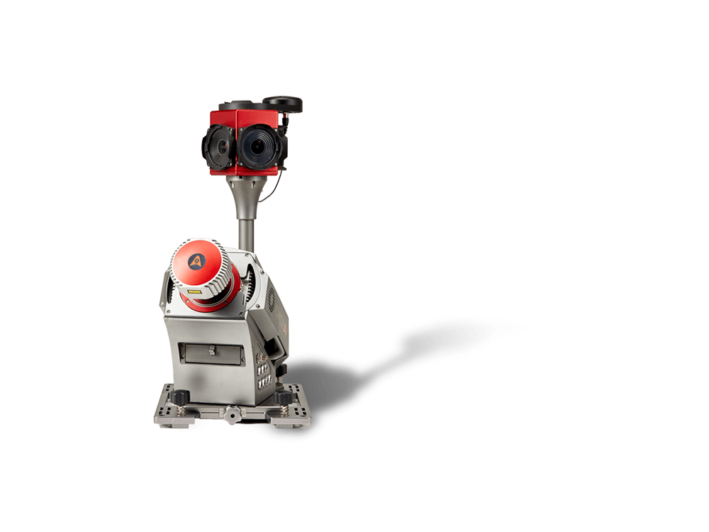
Accurate LiDAR with miniVUX UAV family scanners onboard
High-end, long-range LiDAR solutions, multi-platform setup
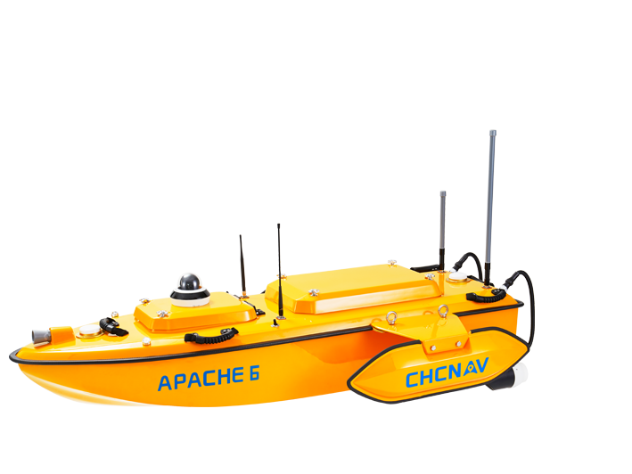
USV with Norbit multibeam echosounder
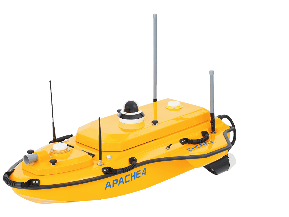
USV with integrated ADCP and echosounder
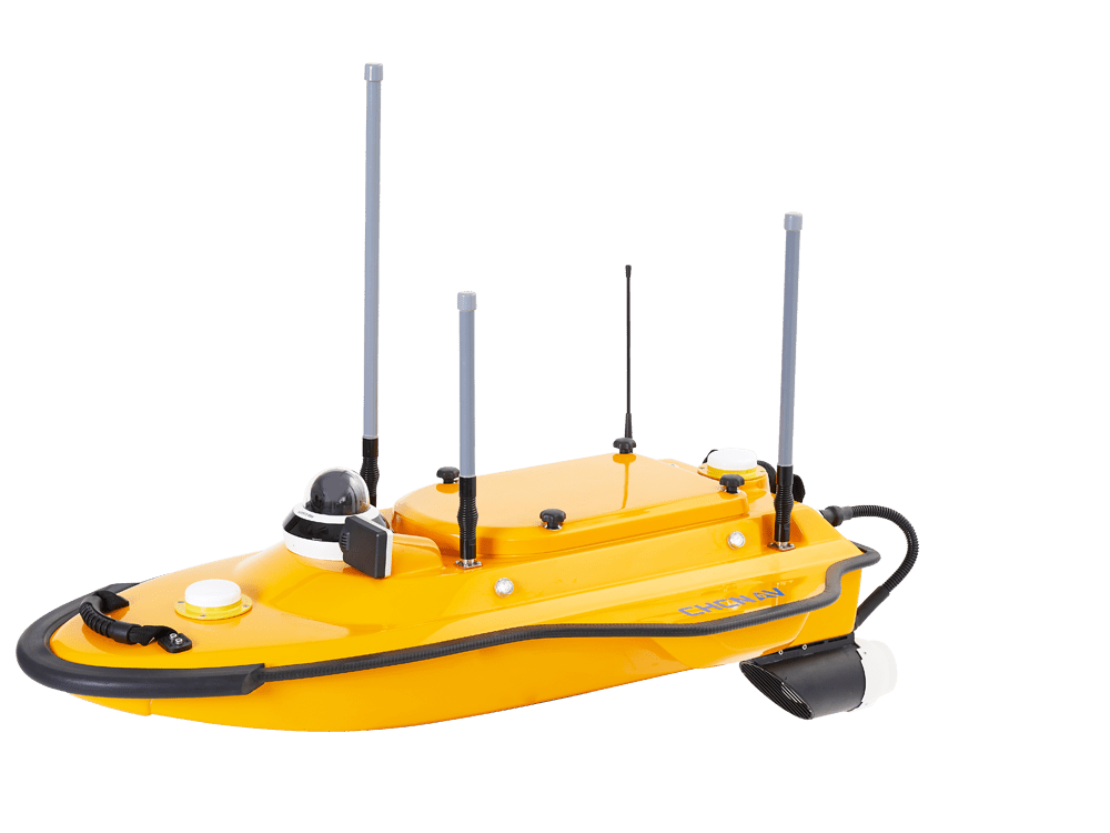
Single beam marine drone
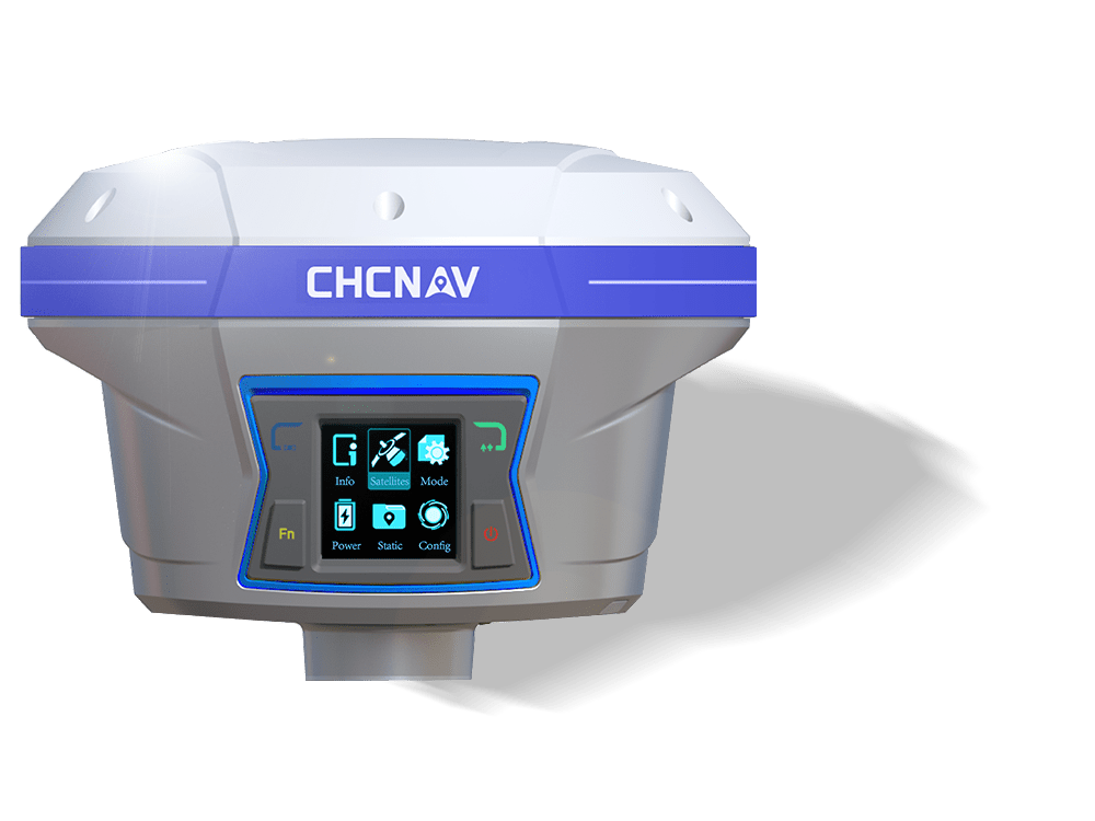
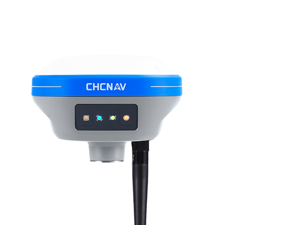
High-performance IMU-RTK GNSS receiver
Professional IMU-RTK GNSS receiver with L-Band
Universal smart IMU-RTK GNSS receiver
Compact GNSS/IMU Base + Rover