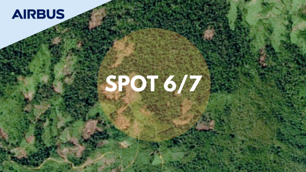
Product Description
- 1.5m or 6m colour resolution products
- Orthorectified product as a standard
- Online tasking, purchasing an delivery
KEY FEATURES
- Stereo and tristereo capacity
- Ideal for 1:25,000 topographic mapping: Feature extraction (2D & 3D stereo plotting, geometric accuracy down to 1.2m CE90, elevation and contour lines)
- Daily revisit anywhere by SPOT 6 or SPOT 7
- Maximum acquisition capacity of 3 Million km² per day per satellite
KEY BENEFITS
- Unique solution on the market for national coverage (2D/3D) with precision
- Huge coverage capacity strengthened by efficient management of weather forecasts
- Ultimate reactivity from new acquisition ordering to product delivery
- Image acquisition secured until 2024
- Accuracy: Orthorectified imagery as a standard, high imagery quality
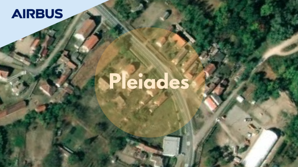
Product Description
- 50cm resolution products
- 20km swath
- Complete ortho product range: Standard (automatic), Tailored and premium
- 12 bits dynamic range for high detection capabilities
- Online tasking, purchasing and delivery
KEY FEATURES
- Very-high-resolution multispectral twin satellites [50-cm products]
- Daily revisit capacity and highly reactive tasking
- Advanced agility including 5 collection scenarios: Target, Strip Mapping, Tri-Stereo, Corridor and Persistent Surveillance
- Truly available satellite resource capacity
- Stereo / Tristereo capacity and fresh archive
KEY BENEFITS
- Detailed & Precise: ideal for precision mapping and in-depth intelligence
- Fast & Frequent: particularly suitable for emergency response and up-todaily change detection
- Available & Reactive: with an industryleading collection success rate, Pléiades is the unanimous choice for new collections and timely decision-making
- Accurate orthorectified imagery as a standard & detailed and solid 3D models, affordable even in the most inaccessible locations

Key Features
- 4 agile identical satellites in constellation
- Sun-synchronous orbit, 10:30 am, Descending node, 620km altitude
- Mission lifetime: 10 years
- Reactivity: Tasking and download through Polar Stations, improved services through Partner Operating Centres and SpaceDataHighway
- Innovative cloud-based ground segment architecture for massive production
- Spatial Resolution: VHR 0.3m Ground Sample Distance (GSD)
- Geolocation accuracy: <5m CE90 at nadir
- Spectral bands: Deep Blue, Blue, Green, Red, Red Edge, Near-infrared, Panchromatic
- Mono, stereo and tri-stereo acquisitions
- Intra-day revisit
- Daily anywhere (30° off-Nadir)
- Twice daily anywhere (46° off-Nadir
- Dynamic range at acquisition: 12 bits
- Coverage: Up to 2 million km² per day
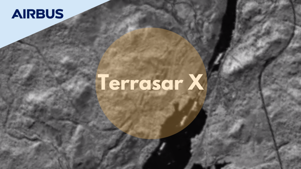
Product Description
- Staring SpotLight
Down to 25cm spatial resolution @ 4 x 3.7km or 2.5 x 7.5km - High Resolution SpotLight
Up to 1m spatial resolution @ 5 to 10km swath width - SpotLight
Up to 2m spatial resolution @ 10km swath width - StripMap
Up to 3m spatial resolution @ 30km swath width - ScanSAR
18.5m spatial resolution @ 100km swath width - Wide ScanSAR
40m spatial resolution @ up to 270 x 200km (length up to 1,500km)
KEY FEATURES
- Imagery of varying modes with aflexible spatial resolution (from 25cm to 40m) and footprint
- Geometric accuracy unrivalled by any other commercial spaceborne sensor today
- Excellent radiometric accuracy
- Weather-independent site access to any point on Earth
- Unique agility (rapid switches between imaging modes and polarisations)
KEY BENEFITS
- Reliable, weather & daylight independent image acquisition & monitoring capability
- Capability to measure surface heights, surface movements
- Near-Real-Time (NRT) data & information delivery over large areas, for ship detection
- Large area coverage with unique resolution
- Best commercially available radar solution up to 25cm for IMINT applications

Key Features
- Pole-to-pole: Global homogeneity
- Highly consistent dataset: Data collected within 3 years only
- Accurate: 2m (relative) / 4m (absolute) vertical accuracy in a 12m x 12m raster
- Two Models: Digital Surface Models (DSM) including the “first surface” elevations & Digital Terrain Models (DTM) representing the bare Earth elevation available
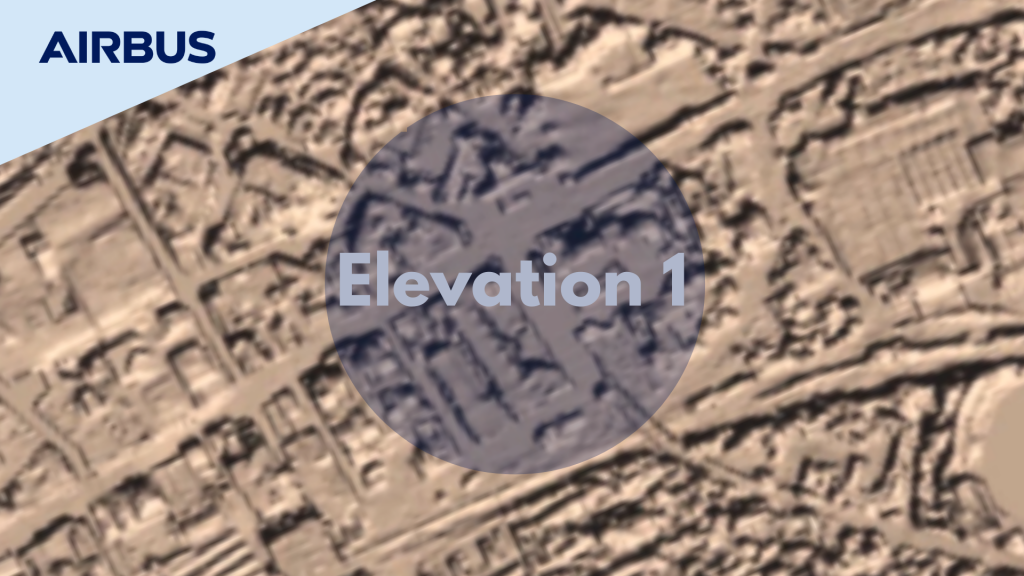
Key Features
- Accurate: Based on matching of very high resolution optical stereo imagery
- Two Models: Digital Surface Models (DSM) including the “first surface” elevations and Digital Terrain Models (DTM) representing the bare Earth elevation available
- Compliant: Suitable to HRE40 (E4) / HRE10 (E1) standards (military standards (NGA))
- Tailored: Production on demand for your Area of Interest
For Order and Price, Please Contact : sales@geosyndo.co.id